Search and rescue (SAR) is resource intensive, difficult, and often dangerous. When someone is trapped, stranded, or lost, locating them and getting them out as quickly as possible is crucial to improving their chance of survival. When someone is stuck in a dangerous environment, minutes can make the difference between life and death.
In 2017, the US National Park Service reported nearly 3,500 search and rescue incidents. The US Coast Guard, the leader in SAR operations, assists 114 people per day, or more than 41,000 people each year.
One of the biggest difficulties for rescuers is the sheer scale of the geographic area a person may be lost in. For example, the search area in a wilderness operation can stretch over many square miles of varied and difficult terrain. After an avalanche or earthquake, individuals may be buried and difficult or impossible to see. This makes manual search efforts inefficient and potentially dangerous while requiring large amounts of resources and people.
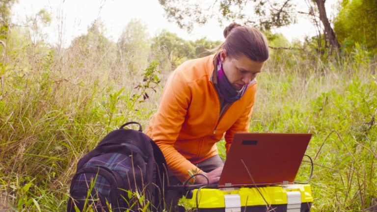
Fortunately, with new technology and real-time spectrum analysis equipment, search and rescue teams can leverage the wireless spectrum and locate people more quickly and effectively.
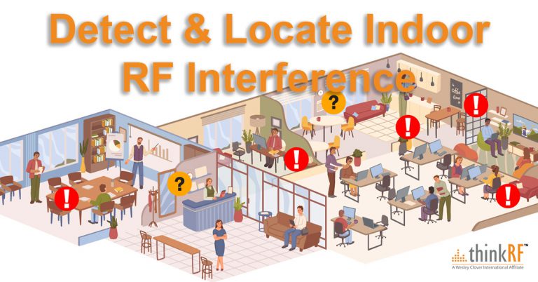
Everyone Has a Wireless Footprint
Existing survival equipment, such as emergency transponders, satellite phones, or GPS devices can aid SAR operations. These devices make it possible for someone who is lost or stranded to contact rescuers or broadcast their location. However, in many scenarios these devices are limited or impractical because they rely on the person who is lost to actively use them.
If the person is injured, unconscious, or otherwise disabled, the device cannot be activated and is useless to rescuers. These devices can also be expensive, and are often only carried by survival experts. Many people do not anticipate ever being lost, and are therefore not prepared for an emergency, making it unlikely they will be carrying one of these devices in the first place.
What most people do have, however, is a mobile device such as a smart phone. These devices are transmitting RF signals throughout the day, even if they are outside the range of a cell tower or Wi-Fi connection. Most importantly, the victim does not need to do anything in order to activate the device.
This means that nearly everyone has a wireless footprint that can be detected by rescuers with specialized equipment. Once these signals are detected, rescuers can narrow down the search area and make SAR operations faster and more efficient.
Wider Search Capabilities With Unmanned Vehicles
When someone realizes they are lost, they often panic and move erratically, taking them away from known locations or off of planned routes they may have shared with friends and family before leaving.
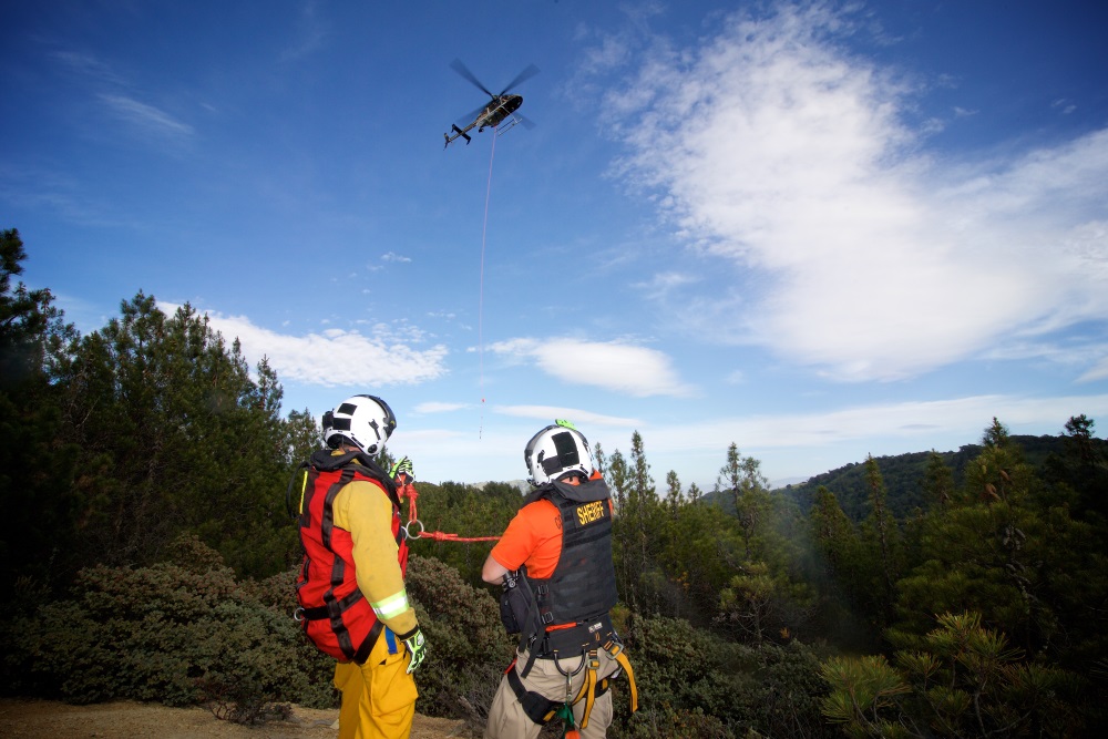
Advances in unmanned aerial vehicles, or drones, can help overcome this challenge. One possible scenario is to equip multiple drones with synchronized and GPS enabled spectrum analyzers to monitor for wireless signals. This makes it possible to cover large areas much more quickly than on foot, and allows rescuers to safely search dangerous and hazardous environments without putting themselves at risk.
If a signal is detected, location finding techniques such as Time-Difference of Arrival (TDOA), Power Difference of Arrival (PDOA), or Frequency Difference of Arrival (FDOA) can be used to identify where the signal is transmitting from so that rescuers can send a team for a more intensive search.
Improving the Chance of Survival Through Wireless Signals
To take advantage of these new techniques for SAR, rescuers need spectrum analysis equipment that is portable, versatile, and networkable. Users must be able to monitor the signal environment from a central location, synchronize time and location data to conduct advanced location finding analysis such as TDOA, PDOA, or FDOA, and detect low powered or sporadic signals of interest. The units must also be compact, lightweight, and low power to be installed on drones or other vehicles.
In any rescue scenario, time is of critical importance. The longer a person is lost, the less chance they have of surviving. Real-time spectrum analyzers with GPS capabilities will make it possible for SAR teams to reduce search times, allocate resources more effectively, and narrow down the location of the victim to dramatically improve the chance of a successful rescue.
ThinkRF is the leader in software-defined spectrum analysis solutions that are portable, versatile, and networked for distributed and remote deployment. Learn more in our recent whitepaper – Seeing the Full Picture with Software-Defined Spectrum Analyzers.